nature
Tuzbair [Тұзбайыр]
A vast salt flat below chalk cliffs, mirror-flat and dangerous when wet.
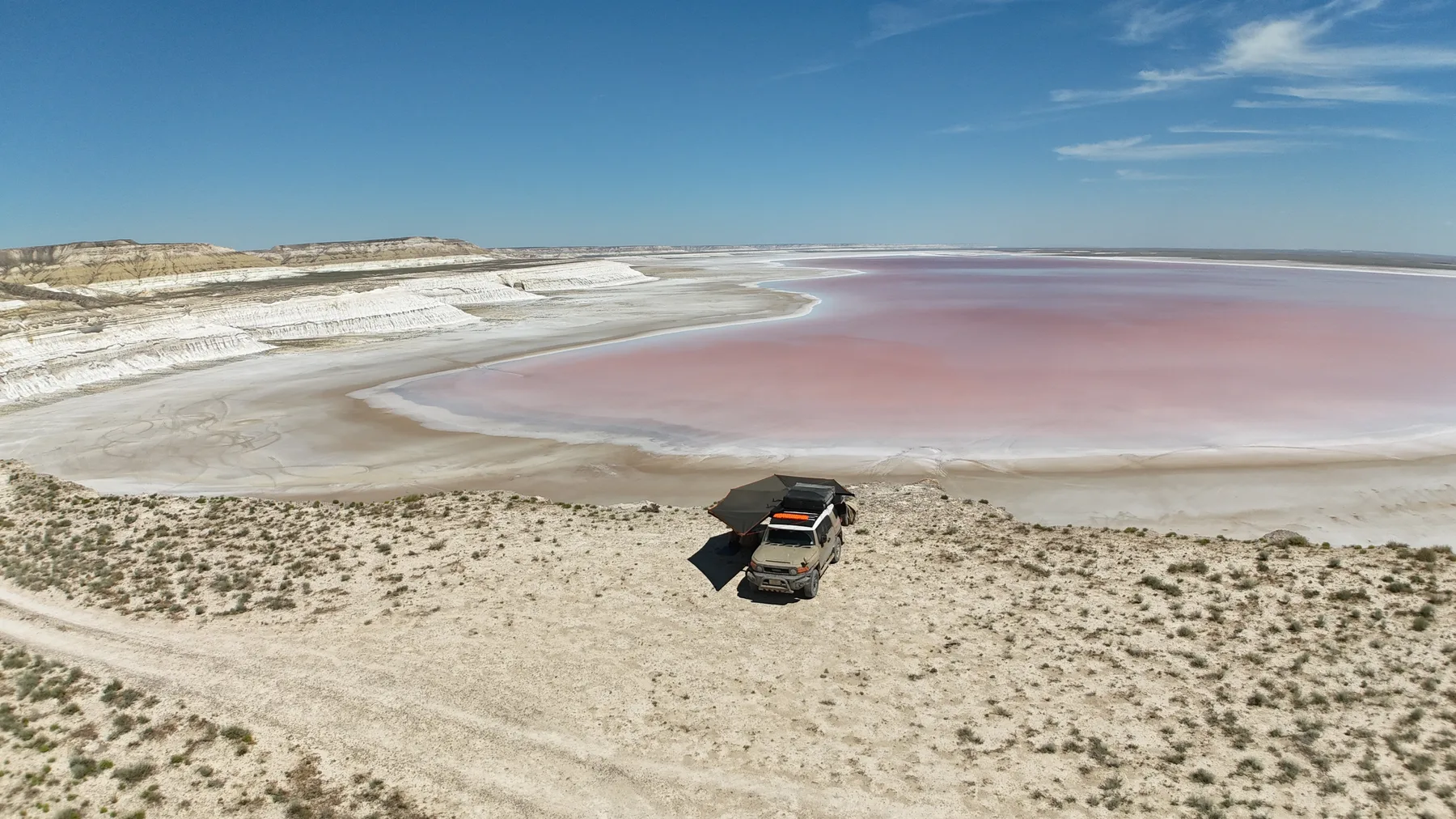
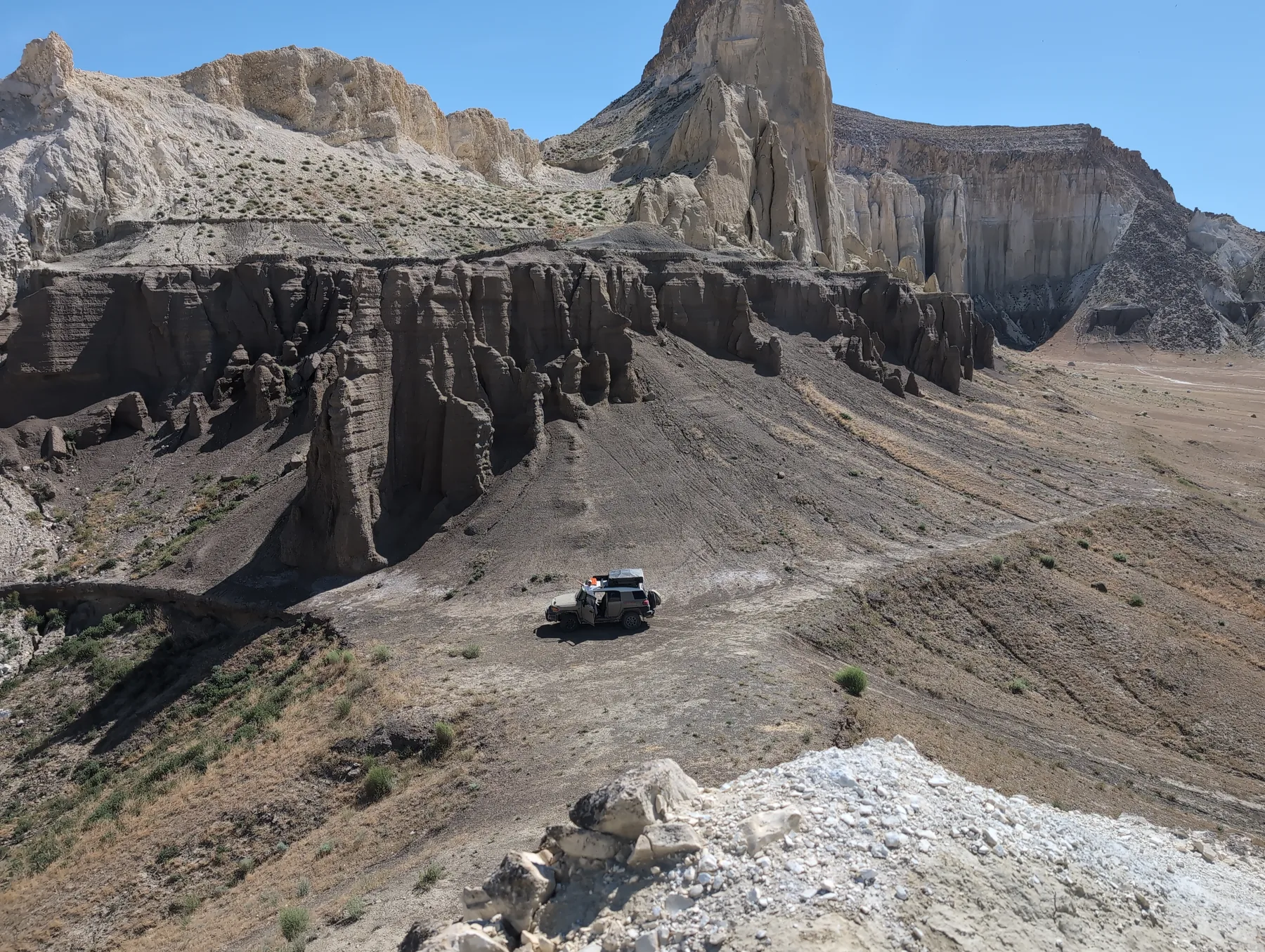
A huge salt marsh (sor) at the foot of the Ustyurt cliffs, with a chalk-arch viewpoint above it. In the wet season a thin water film turns the pan into a mirror; in the dry it's a cracked white plain. In hotter months, the lake turns a shade into of pink, caused by algae and bacteria who love the hypersalinity of the water
Formation
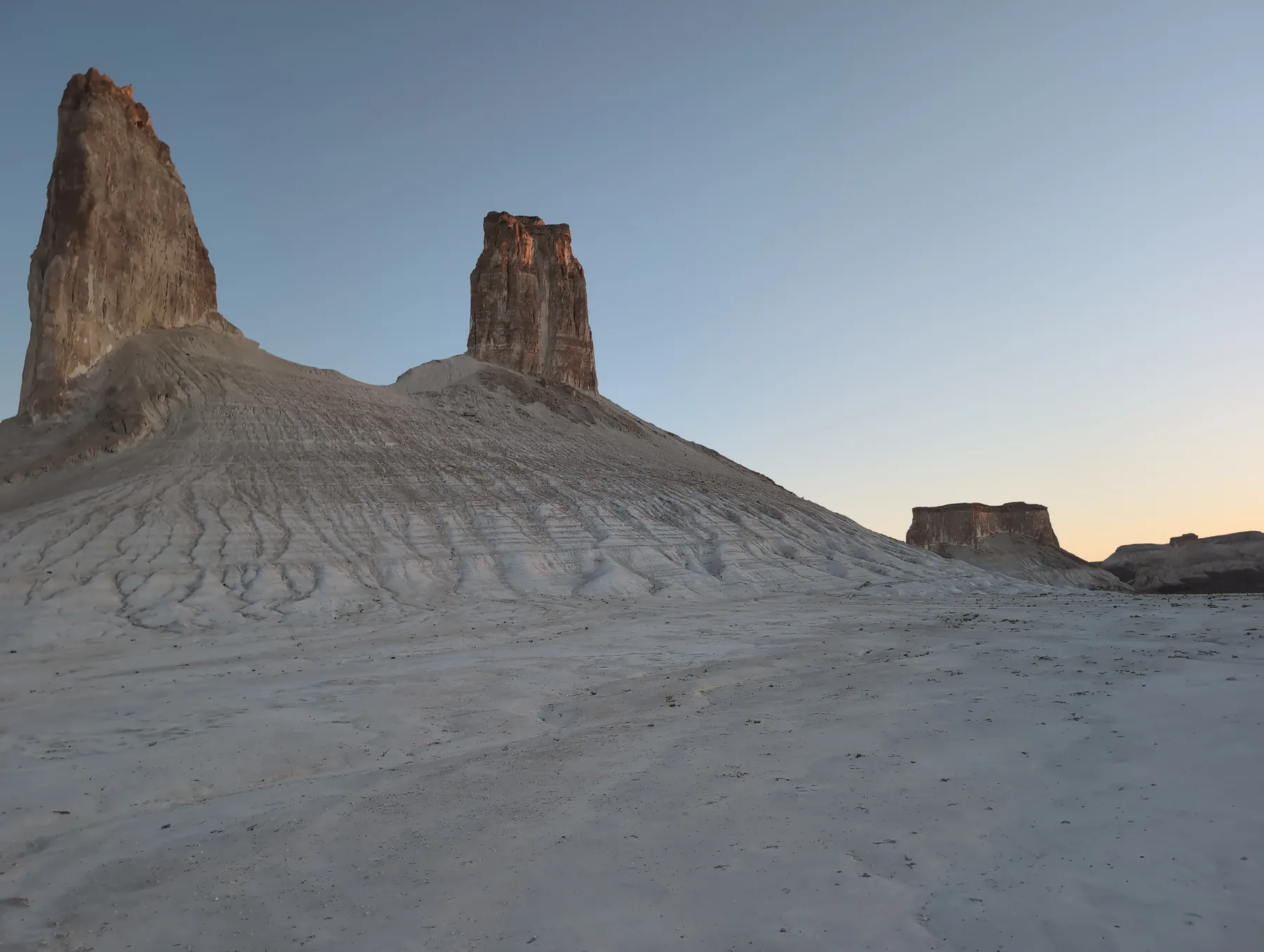
A sor is an internally-drained salt flat: water collects, evaporates, and leaves salt behind. The cliffs above are the same Cretaceous chalk as Bozjyra, cut here by a natural arch.
Worth knowing
The upper rim gives the easy, safe view; the valley floor is a longer, more confusing drive with a west-side entry. Two viewpoints, two very different commitments.
Good to know
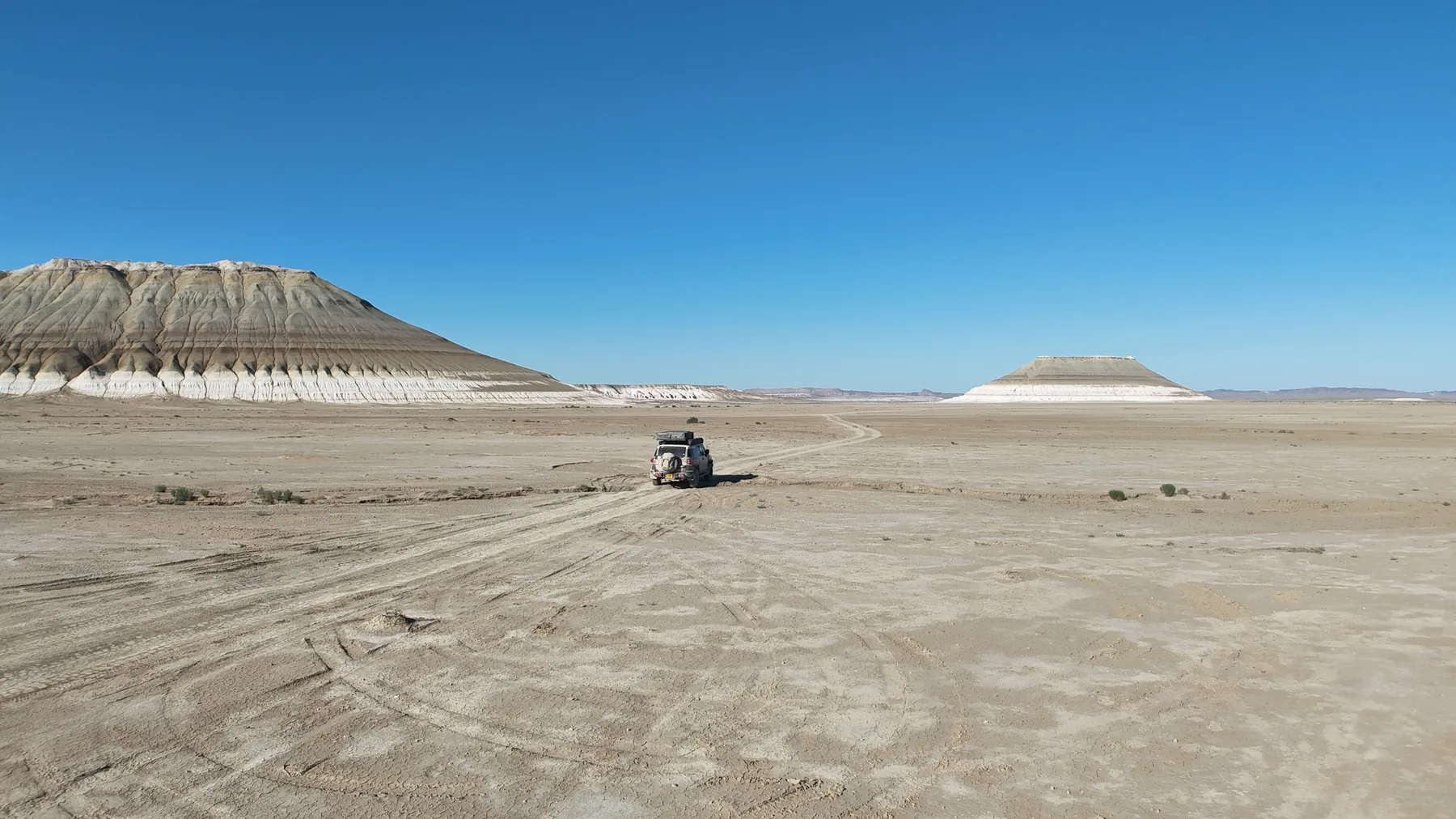
See the driving section. Roughly 230 km from Aktau (A-33) plus ~40 km dirt, or ~120 km shorter via Kogen village by Sherkala. Do NOT drive onto the pan without established tracks — the solid-looking crust hides swamp. Turn-off from Beyneu-Aktau road~44.14705, 52.94501; chalk arch ~44.0377, 53.1578
📍 44.04690, 53.15910
Tuzbair track
From the Byeneu-Aktau road, the turn off onto the track leading to the pan of the lake (i.e base of the cliffs)
44.14705, 52.94501
View from above
Viewpoint of the lake from above, wild-camp spot, be prepared for it to b every windy, like anywhere on the steppe
44.0378, 53.1578